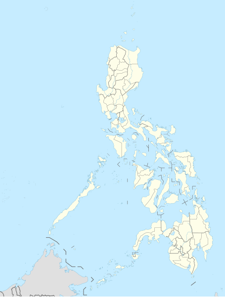
File:Philippines adm location map.svg
Appearance

Size of this PNG preview of this SVG file: 455 × 600 pixels. Other resolutions: 182 × 240 pixels | 364 × 480 pixels | 582 × 768 pixels | 776 × 1,024 pixels | 1,553 × 2,048 pixels | 1,871 × 2,467 pixels.
Original file (SVG file, nominally 1,871 × 2,467 pixels, file size: 719 KB)
File history
Click on a date/time to view the file as it appeared at that time.
| Date/Time | Thumbnail | Dimensions | User | Comment | |
|---|---|---|---|---|---|
| current | 19:10, 30 November 2023 |  | 1,871 × 2,467 (719 KB) | NordNordWest | corr |
| 19:03, 30 November 2023 |  | 1,871 × 2,467 (719 KB) | NordNordWest | upd 2022 | |
| 20:19, 13 May 2016 |  | 1,871 × 2,467 (719 KB) | NordNordWest | == {{int:filedesc}} == {{Information |Description= {{de|1=Positionskarte der Philippinen}} {{en|1=Location map of the Philippines}} {{Location map series N |stretching=103 |top=21.2 |bottom=4.3 |left=114.1 |right=127.3 }} |Source={{Own using}} * United... |
File usage
No pages on the English Wikipedia use this file (pages on other projects are not listed).
Global file usage
The following other wikis use this file:
- Usage on ceb.wikipedia.org
- Leyte (pulo)
- Sidlakang Samar
- Misamis Occidental
- Poro, Sugbo
- Ormoc
- Calbayog
- Tacloban
- Bontoc, Habagatang Leyte
- Padre Burgos, Habagatang Leyte
- Daram, Samar
- Maasin
- Salcedo, Sidlakang Samar
- Alcantara, Sugbo
- San Antonio, Amihanang Samar
- San Roque, Amihanang Samar
- Zumarraga, Samar
- Ajuy, Iloilo
- Tigbauan, Iloilo
- Mabini, Bohol
- Inabanga, Bohol
- Anda, Bohol
- Balamban, Sugbo
- Lazi, Siquijor
- Maria, Siquijor
- Siquijor, Siquijor
- Catmon, Sugbo
- Madridejos, Sugbo
- Tabogon, Sugbo
- Tabuelan, Sugbo
- Batanes
- Habagatang Upi
- Mapun
- Habagatang Ubian
- Turtle Islands, Tawi-Tawi
- Talakag, Bukidnon
- La Carlota
- Himamaylan
- Leon B. Postigo
- Jose Abad Santos, Davao Occidental
- Governor Generoso, Davao Oriental
- Dakbayan sa Iloilo
- Bantayan (pulo)
- Dakbayan sa Sugbo
- Malaybalay
View more global usage of this file.


