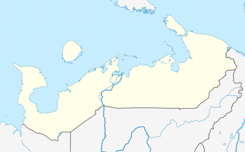
File:Outline Map of Nenets Autonomous Okrug.png
Appearance

Size of this preview: 800 × 495 pixels. Other resolutions: 320 × 198 pixels | 640 × 396 pixels | 812 × 502 pixels.
Original file (812 × 502 pixels, file size: 88 KB, MIME type: image/png)
File history
Click on a date/time to view the file as it appeared at that time.
| Date/Time | Thumbnail | Dimensions | User | Comment | |
|---|---|---|---|---|---|
| current | 11:16, 18 February 2012 |  | 812 × 502 (88 KB) | Nzeemin |
File usage
The following 23 pages use this file:
- 2014 Winter Olympics torch relay
- Amderma
- Amderma Airport
- Andeg
- Bugrino
- Iskateley
- Kara crater
- Karataika
- Khorey-Ver
- Khoseda-Khardsky
- Mgla
- Naryan-Mar
- Naryan-Mar Airport
- Nelmin-Nos
- Nes, Russia
- Northwestern Federal District
- Oksino
- Oma, Russia
- Shoyna
- Ust-Kara, Nenets Autonomous Okrug
- Varnek
- Module:Location map/data/Russia Nenets Autonomous Okrug
- Module:Location map/data/Russia Nenets Autonomous Okrug/doc
Global file usage
The following other wikis use this file:
- Usage on ar.wikipedia.org
- Usage on az.wikipedia.org
- Usage on be.wikipedia.org
- Usage on bg.wikipedia.org
- Usage on ceb.wikipedia.org
- Usage on crh.wikipedia.org
- Usage on cs.wikipedia.org
- Usage on de.wikipedia.org
- Narjan-Mar
- Schoina
- Wikipedia:Kartenwerkstatt/Positionskarten/Europa
- Iskatelei
- Amderma
- Bugrino (Archangelsk)
- Sapoljarny rajon
- Vorlage:Positionskarte Russland Autonomer Kreis der Nenzen
- Benutzer:Amga/Info ISO-3166-2:RU
- Nischnjaja Pjoscha
- Oma (Russland)
- Oksino
- Nes (Russland)
- Nelmin Nos
- Welikowissotschnoje
- Kotkino
- Andeg
- Charuta
- Indiga (Ort)
- Usage on eo.wikipedia.org
- Usage on es.wikipedia.org
- Usage on fa.wikipedia.org
View more global usage of this file.

