
File:Operational Navigation Chart A-5, 3rd edition.jpg

Size of this preview: 800 × 572 pixels. Other resolutions: 320 × 229 pixels | 640 × 457 pixels | 1,024 × 732 pixels | 1,280 × 915 pixels | 2,560 × 1,829 pixels | 9,254 × 6,613 pixels.
Original file (9,254 × 6,613 pixels, file size: 15.38 MB, MIME type: image/jpeg)
| This is a file from the Wikimedia Commons. Information from its description page there is shown below. Commons is a freely licensed media file repository. You can help. |
Summary
| Description |
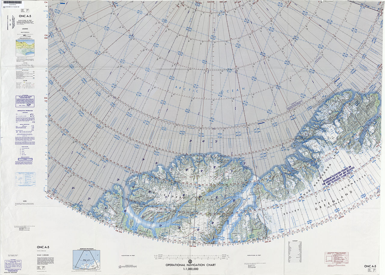
English: 1:1,000,000 scale Operational Navigation Chart, Sheet A-5, 3nd edition.
|
| Date | |
| Source | |
| Author | Defense Mapping Agency Aerospace Center, St. Louis, Mo. |
Covers 80N to 88N, 106W to 36W.
-
 Index Map

Licensing
| This work is from the Library of Congress. According to the library, there are no known copyright restrictions on the use of this work. |  |
File history
Click on a date/time to view the file as it appeared at that time.
| Date/Time | Thumbnail | Dimensions | User | Comment | |
|---|---|---|---|---|---|
| current | 16:39, 6 September 2014 | | 9,254 × 6,613 (15.38 MB) | Revent | User created page with UploadWizard |
File usage
The following pages on the English Wikipedia use this file (pages on other projects are not listed):
- A. Harmsworth Glacier
- Beaumont Island (Greenland)
- Benedict Fjord
- Bertelsen Glacier
- Bessel Fjord, NW Greenland
- Bliss Bay
- Borup Island
- Børglum River
- C. H. Ostenfeld Glacier
- Cape Christiansen
- Cape Cleveland, Lincoln Sea
- Cape Eiler Rasmussen
- Cape Gray, Greenland
- Cape John Flagler
- Cape Kane
- Cape Morton
- Cape Washington, Greenland
- Castle Island (Greenland)
- Challenger Mountains
- Citronen Fjord
- Conger Sound
- Constable Bay
- Daly Range
- Daugaard-Jensen Land
- De Long Fjord
- East Jensen Island
- Freja Fjord
- Freuchen Land
- Frigg Fjord
- Gertrud Rask Land
- H. H. Benedict Range
- Hall Land
- Hannah Island (Greenland)
- Hans Island
- Hans Tausen Ice Cap
- Harder Fjord
- Haug Range
- Hazenland
- Hendrik Island
- Henson Glacier (Greenland)
- Hunt Fjord
- Jewell Fjord
- Joe Island (Greenland)
- Johannes V. Jensen Land
- John Murray Island
- Kaffeklubben Island
- Kayser Mountain
- Lockwood Island
- Mount Wistar
- Nansen Land
- Navarana Fjord
- Newman Bay
- Nina Bang Mountain
- Nordkrone
- Nordpasset
- Nyeboe Land
- O.B. Bøggild Fjord
- Odin Fjord
- Ormen (Greenland)
- Peary Channel (Greenland)
- Petermann Fjord
- Roosevelt Range
- Ryder Glacier (Greenland)
- Saint George Fjord
- Sands Fjord
- Sherard Osborn Fjord
- Sif Glacier
- Steensby Glacier
- Stephenson Island (Greenland)
- Sverdrup Island (Greenland)
- Thomas Glacier (Greenland)
- Thor Fjord
- United States Range
- Victoria Fjord
- Warming Land
- Washington Land
- Weyprecht Fjord
- Wulff Land
Global file usage
The following other wikis use this file:
- Usage on ceb.wikipedia.org
- Usage on cs.wikipedia.org
- Usage on de.wikipedia.org
- Usage on en.wikiversity.org
- Usage on es.wikipedia.org
- Usage on fi.wikipedia.org
- Usage on fr.wikipedia.org
- Usage on gl.wikipedia.org
- Usage on he.wikipedia.org
- Usage on id.wikipedia.org
- Usage on no.wikipedia.org
- Usage on ru.wikipedia.org
- Usage on tr.wikipedia.org
- Usage on uk.wikipedia.org
- Usage on www.wikidata.org