
File:OS map High Peak Junction.jpg

Size of this preview: 596 × 599 pixels. Other resolutions: 239 × 240 pixels | 477 × 480 pixels | 698 × 702 pixels.
Original file (698 × 702 pixels, file size: 159 KB, MIME type: image/jpeg)
| This is a file from the Wikimedia Commons. Information from its description page there is shown below. Commons is a freely licensed media file repository. You can help. |
Summary
| Description |
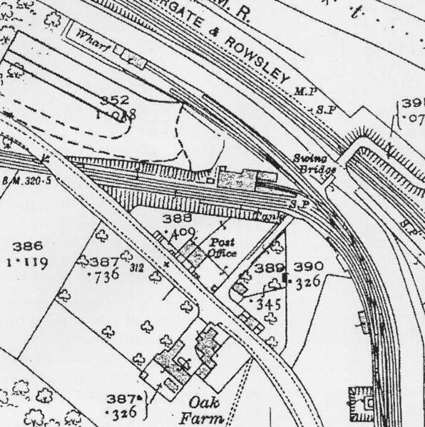
English: old map of High Peak Junction, near Cromford |
| Date | |
| Source | Ordnance Survey map |
| Author | Ordnance Survey |
| Permission (Reusing this file) |
PD-UKGov |
Licensing

|
The copyright holder of this work allows anyone to use it for any purpose including unrestricted redistribution, commercial use, and modification.
Usage notes:
|
File history
Click on a date/time to view the file as it appeared at that time.
| Date/Time | Thumbnail | Dimensions | User | Comment | |
|---|---|---|---|---|---|
| current | 15:28, 4 September 2010 | | 698 × 702 (159 KB) | Hogyn Lleol | {{Information |Description={{en|1=old map of High Peak Junction, near Cromford}} |Source=Ordnance Survey map |Author=Ordnance Survey |Date=1900 |Permission=PD-UKGov |other_versions= }} |
File usage
The following page uses this file: