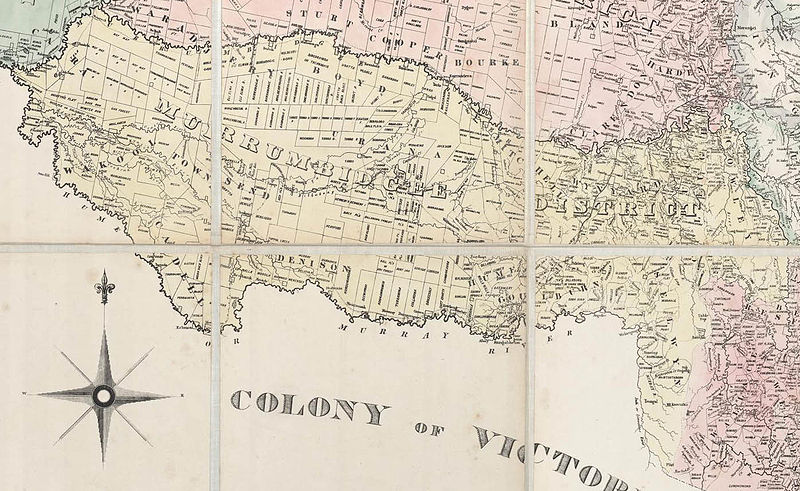
File:Murrumbidgee District 1860s.jpg
Appearance

Size of this preview: 800 × 491 pixels. Other resolutions: 320 × 196 pixels | 640 × 393 pixels | 1,024 × 629 pixels | 1,396 × 857 pixels.
Original file (1,396 × 857 pixels, file size: 268 KB, MIME type: image/jpeg)
File history
Click on a date/time to view the file as it appeared at that time.
| Date/Time | Thumbnail | Dimensions | User | Comment | |
|---|---|---|---|---|---|
| current | 02:08, 28 August 2007 |  | 1,396 × 857 (268 KB) | Roke~commonswiki | {{Information |Description=Map of the Murrumbidgee District, 1860s |Source=cropped from Reuss & Browne's map of New South Wales and part of Queensland showing the relative positions of the pastoral runs, squattages, districts, |
File usage
The following page uses this file:

