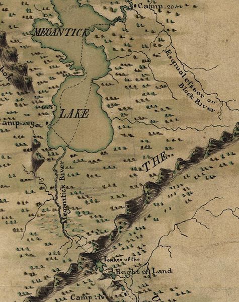
File:MontresorChaudiereMap1760HeightOfLand.jpg
Appearance

Size of this preview: 475 × 600 pixels. Other resolutions: 190 × 240 pixels | 380 × 480 pixels | 960 × 1,212 pixels.
Original file (960 × 1,212 pixels, file size: 370 KB, MIME type: image/jpeg)
File history
Click on a date/time to view the file as it appeared at that time.
| Date/Time | Thumbnail | Dimensions | User | Comment | |
|---|---|---|---|---|---|
| current | 17:15, 18 June 2010 |  | 960 × 1,212 (370 KB) | Magicpiano | {{Information |Description=Extract from File:MontresorChaudieremap1760.jpg, focused on the w:height of land between the Kennebec and Chaudière River watersheds. |Source=Library of Congress American Memory<br> Durable URL: http://hdl.loc.gov/loc |
File usage
The following page uses this file:
Global file usage
The following other wikis use this file:
- Usage on it.wikipedia.org
- Usage on ja.wikipedia.org
- Usage on ru.wikipedia.org
- Usage on zh.wikipedia.org


