
File:Mercator projection of world with grid.png
No higher resolution available.
Mercator_projection_of_world_with_grid.png (295 × 295 pixels, file size: 26 KB, MIME type: image/png)
| This is a file from the Wikimedia Commons. Information from its description page there is shown below. Commons is a freely licensed media file repository. You can help. |
Summary
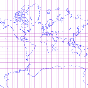
| Description | world map in Mercator projection with 10-degree grids, only in black lines on white background |
| Date | |
| Source | drawn by myself; using freely available materials especially DCL found at http://www.gfd-dennou.org/arch/dcl |
| Author | prasinos |
| Permission (Reusing this file) |
public domain |

|
This map of the world image could be re-created using vector graphics as an SVG file. This has several advantages; see Commons:Media for cleanup for more information. If an SVG form of this image is available, please upload it and afterwards replace this template with
{{vector version available|new image name}}.
It is recommended to name the SVG file “Mercator projection of world with grid.svg”—then the template Vector version available (or Vva) does not need the new image name parameter. |
Licensing
| I, the copyright holder of this work, release this work into the public domain. This applies worldwide. In some countries this may not be legally possible; if so: I grant anyone the right to use this work for any purpose, without any conditions, unless such conditions are required by law. |
File history
Click on a date/time to view the file as it appeared at that time.
| Date/Time | Thumbnail | Dimensions | User | Comment | |
|---|---|---|---|---|---|
| current | 19:11, 14 October 2007 | | 295 × 295 (26 KB) | Prasinos | {{Information |Description=world map in Mercator projection with 10-degree grids, blue continents and purple grauticle on white background |Source=drawn by myself with program http://apollo.ersc.wisc.edu/finch/zz2007/cartoplus/dcl-projfigs.shar using free |
| 17:14, 30 September 2007 |  | 295 × 295 (13 KB) | Prasinos | {{Information |Description=world map in Mercator projection with 10-degree grids, only in black lines on white background |Source=drawn by myself; using freely available materials especially DCL found at http://www.gfd-dennou.org/arch/dcl |Date=2007-10-01 |
File usage
The following page uses this file:
Global file usage
The following other wikis use this file:
- Usage on nl.wikipedia.org