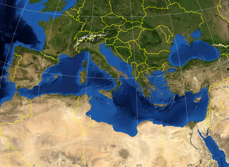
File:Mediterranean Sea political map-blank.svg
Appearance

Size of this PNG preview of this SVG file: 800 × 585 pixels. Other resolutions: 320 × 234 pixels | 640 × 468 pixels | 1,024 × 749 pixels | 1,280 × 936 pixels | 2,560 × 1,872 pixels | 2,046 × 1,496 pixels.
Original file (SVG file, nominally 2,046 × 1,496 pixels, file size: 1.06 MB)
File history
Click on a date/time to view the file as it appeared at that time.
| Date/Time | Thumbnail | Dimensions | User | Comment | |
|---|---|---|---|---|---|
| current | 16:14, 19 May 2008 |  | 2,046 × 1,496 (1.06 MB) | Sting | "Tropic of Cancer" label correction |
| 01:07, 21 June 2007 |  | 2,046 × 1,496 (1.06 MB) | Sting | {{Information |Description=Blank map of the Mediterranean Sea, with the State borders. |Source=Own work ;<br/>Background map : screenshot from NASA World Wind (Public Domain) |Date=June 2007 |Author=Eric Gaba ([[User:Sting|Sting] |
File usage
No pages on the English Wikipedia use this file (pages on other projects are not listed).
Global file usage
The following other wikis use this file:
- Usage on ar.wikipedia.org
- Usage on fr.wikipedia.org
- Usage on gv.wikipedia.org
- Usage on id.wikipedia.org
- Usage on pl.wiktionary.org


