
File:Map of Tioga Township, Tioga County, Pennsylvania Highlighted.png

Size of this preview: 685 × 599 pixels. Other resolutions: 274 × 240 pixels | 549 × 480 pixels | 878 × 768 pixels | 1,171 × 1,024 pixels | 1,820 × 1,592 pixels.
Original file (1,820 × 1,592 pixels, file size: 94 KB, MIME type: image/png)
| This is a file from the Wikimedia Commons. Information from its description page there is shown below. Commons is a freely licensed media file repository. You can help. |
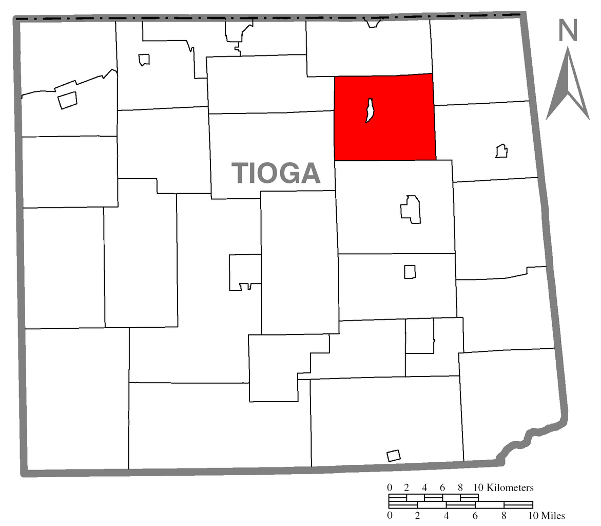
| Description | A map of Tioga County showing Tioga Township, Pennsylvania (alternate) highlighted on the map. | |||
| Date | ||||
| Source | Source image taken from the United States Census Bureau's website pa_cosub.pdf and modified by User:Ruhrfisch | |||
| Author | US Census, Ruhrfisch | |||
| Permission (Reusing this file) |
US Census / US Government work is public domain, my modifications licensed under the GNU Free Documentation License I, the copyright holder of this work, hereby publish it under the following licenses:
This file is licensed under the Creative Commons Attribution-Share Alike 2.5 Generic, 2.0 Generic and 1.0 Generic license.
You may select the license of your choice. |
|||
| Other versions |
Image:Map of Tioga County, Pennsylvania.png - Source map before highlighting (with text). Image:Map of Tioga County, Pennsylvania No Text.png - Source map before highlighting (without text). |

File history
Click on a date/time to view the file as it appeared at that time.
| Date/Time | Thumbnail | Dimensions | User | Comment | |
|---|---|---|---|---|---|
| current | 01:27, 10 October 2007 | | 1,820 × 1,592 (94 KB) | Ruhrfisch | {{Information| |Description={{PennMapDesc|Tioga|Tioga Township}} |Source=Source image taken from the United States Census Bureau's website [http://www2.census.gov/geo/maps/general_ref/cousub_outline/cen2k_pgsz/pa_cosub.pdf pa_cosub.pdf] and modified by [[ |
File usage
The following 3 pages use this file:
Global file usage
The following other wikis use this file:
- Usage on cy.wikipedia.org
- Usage on es.wikipedia.org
- Usage on vi.wikipedia.org
- Usage on www.wikidata.org