
File:Map of California highlighting Sacramento County.svg

Size of this PNG preview of this SVG file: 521 × 599 pixels. Other resolutions: 209 × 240 pixels | 417 × 480 pixels | 667 × 768 pixels | 890 × 1,024 pixels | 1,780 × 2,048 pixels | 916 × 1,054 pixels.
Original file (SVG file, nominally 916 × 1,054 pixels, file size: 151 KB)
| This is a file from the Wikimedia Commons. Information from its description page there is shown below. Commons is a freely licensed media file repository. You can help. |
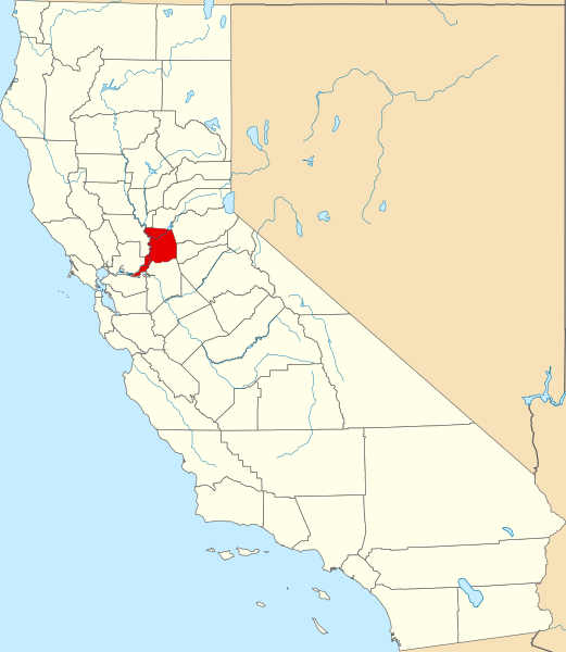
This is a locator map showing Sacramento County in California. David Benbennick made this map. For more information, see Commons:United States county locator maps.
| I, the copyright holder of this work, release this work into the public domain. This applies worldwide. In some countries this may not be legally possible; if so: I grant anyone the right to use this work for any purpose, without any conditions, unless such conditions are required by law. |
File history
Click on a date/time to view the file as it appeared at that time.
| Date/Time | Thumbnail | Dimensions | User | Comment | |
|---|---|---|---|---|---|
| current | 23:02, 25 June 2024 | | 916 × 1,054 (151 KB) | Nux | uniform colors with good contrast |
| 10:27, 12 February 2006 |  | 9,164 × 10,536 (229 KB) | David Benbennick | {{subst:User:Dbenbenn/clm|county=Sacramento County|state=California}} |
File usage
The following 62 pages use this file:
- Antelope, California
- Arden-Arcade, California
- California Capitol Christmas Tree
- Carmichael, California
- Citrus Heights, California
- Clay, California
- Courtland, California
- Elk Grove, California
- Elverta, California
- Fair Oaks, California
- Florin, California
- Folsom, California
- Foothill Farms, California
- Franklin, Sacramento County, California
- Freeport, California
- Fruitridge Pocket, California
- Galt, California
- Gold River, California
- Herald, California
- Hood, California
- Isleton, California
- La Riviera, California
- Lemon Hill, California
- List of counties in California
- Locke, California
- Mather, Sacramento County, California
- McClellan Park, California
- Michigan Bar, California
- Mormon Island, California
- National Register of Historic Places listings in Sacramento County, California
- Norristown, California
- North Highlands, California
- Orangevale, California
- Paintersville, California
- Parkway, California
- Parkway–South Sacramento, California
- Prairie City, California
- Rancho Cordova, California
- Rancho Murieta, California
- Rio Linda, California
- Rosemont, California
- Ryde, California
- Sacramento, California
- Sacramento County, California
- Sacramento County Sheriff's Office
- Sloughhouse, California
- Sports in Sacramento, California
- Sutterville, California
- Timeline of Sacramento, California
- Vineyard, California
- Walnut Grove, California
- Wilton, California
- User:AridCeption/sandbox
- User:CactusJack/California watchlist
- User:CosumnesCSD/sandbox
- User:Darkest tree/sandbox/List of counties in California
- User:Nyttend/County templates/CA/2
- User:Patapsco913/sandbox
- User:Yourcsd/sandbox
- Template:Sacramento County, California
- Category:Populated places in Sacramento County, California
- Category:Wikipedia requested photographs in Sacramento County, California
Global file usage
The following other wikis use this file:
- Usage on ar.wikipedia.org
- Usage on arz.wikipedia.org
- Usage on az.wikipedia.org
- Usage on ban.wikipedia.org
- Usage on bg.wikipedia.org
- Usage on bpy.wikipedia.org
- Usage on ca.wikipedia.org
- Usage on ceb.wikipedia.org
- Usage on ce.wikipedia.org
- Usage on cs.wikipedia.org
- Usage on cy.wikipedia.org
- Usage on da.wikipedia.org
- Usage on de.wikipedia.org
- Sacramento
- Arden-Arcade
- Carmichael (Kalifornien)
- Citrus Heights
- Elk Grove
- Fair Oaks (Kalifornien)
- Folsom (Kalifornien)
- Foothill Farms
- Galt (Kalifornien)
- La Riviera (Kalifornien)
- North Highlands
- Orangevale
- Rancho Cordova
- Rio Linda
- Rosemont (Kalifornien)
- Sacramento County
- Walnut Grove (Kalifornien)
- Isleton
- Liste der Countys in Kalifornien
- Gold River (Kalifornien)
- Rancho Murieta
- Vorlage:Navigationsleiste Orte im Sacramento County
- Usage on el.wikipedia.org
- Usage on eo.wikipedia.org
- Usage on es.wikipedia.org
- Usage on et.wikipedia.org
View more global usage of this file.