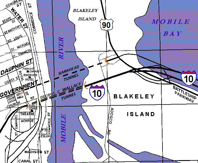
File:Map Mobile River tunnels area.gif
Appearance
Map_Mobile_River_tunnels_area.gif (680 × 560 pixels, file size: 51 KB, MIME type: image/gif)
File history
Click on a date/time to view the file as it appeared at that time.
| Date/Time | Thumbnail | Dimensions | User | Comment | |
|---|---|---|---|---|---|
| current | 00:16, 23 August 2012 |  | 680 × 560 (51 KB) | RBBrittain | Replace "ALT 90" shield text; northerly route to bridge is now regular US 90. |
| 19:36, 12 December 2007 |  | 680 × 560 (34 KB) | Wikid77 | initial upload |
File usage
The following 2 pages use this file:
Global file usage
The following other wikis use this file:
- Usage on de.wikipedia.org
- Usage on www.wikidata.org

