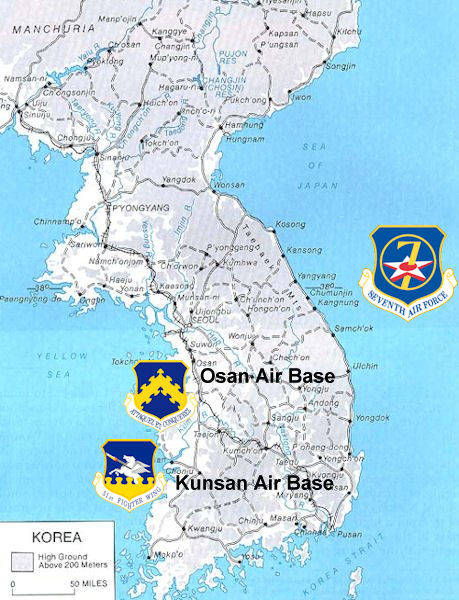
File:Korea map-7thaf.jpg
Appearance
Korea_map-7thaf.jpg (459 × 600 pixels, file size: 90 KB, MIME type: image/jpeg)
File history
Click on a date/time to view the file as it appeared at that time.
| Date/Time | Thumbnail | Dimensions | User | Comment | |
|---|---|---|---|---|---|
| current | 23:04, 20 September 2008 |  | 459 × 600 (90 KB) | Bwmoll3 | {{Information |Description={{en|1=Map showing locations of USAF Bases in South Korea. Used US Gov basemap with emblems from United States Air Force, compiled by author}} |Source=http://www.history.army.mil/books/korea/maps/map2_full.jpg |Author=United St |
File usage
The following page uses this file:
Global file usage
The following other wikis use this file:
- Usage on it.wikipedia.org
- Usage on www.wikidata.org


