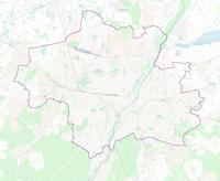
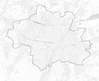
File:Karte der Stadtbezirksteile in München.png
Appearance

Size of this preview: 719 × 600 pixels. Other resolutions: 288 × 240 pixels | 576 × 480 pixels | 921 × 768 pixels | 1,228 × 1,024 pixels | 2,455 × 2,048 pixels | 3,335 × 2,782 pixels.
Original file (3,335 × 2,782 pixels, file size: 5.09 MB, MIME type: image/png)
File history
Click on a date/time to view the file as it appeared at that time.
| Date/Time | Thumbnail | Dimensions | User | Comment | |
|---|---|---|---|---|---|
| current | 21:35, 1 March 2017 | 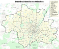 | 3,335 × 2,782 (5.09 MB) | Chumwa | Stadtbezirksteil 1.5 war falsch beschriftet |
| 05:17, 15 August 2012 |  | 3,335 × 2,782 (5.16 MB) | Chumwa | kleinere Straßen mit hinzugenommen | |
| 20:34, 14 August 2012 |  | 3,335 × 2,782 (2.98 MB) | Chumwa | smaller version | |
| 20:25, 14 August 2012 |  | 4,169 × 3,478 (3.96 MB) | Chumwa | {{Information |Description= *{{ de }} Karte der Stadtbezirksteile in München<br><br>''Hinweis'': Die dargestellten Grenzlinien können nur einen ungefähren Eindruck von deren tatsächlicher räumlichen Lage vermitteln. Für genauere Informationen des... |
File usage
The following page uses this file:
Global file usage
The following other wikis use this file:
- Usage on de.wikipedia.org
- Usage on zh.wikipedia.org


