
File:Ille-et-Vilaine department relief location map.jpg
Size of this preview: 461 × 599 pixels. Other resolutions: 185 × 240 pixels | 369 × 480 pixels | 856 × 1,112 pixels.
Original file (856 × 1,112 pixels, file size: 259 KB, MIME type: image/jpeg)
| This is a file from the Wikimedia Commons. Information from its description page there is shown below. Commons is a freely licensed media file repository. You can help. |
Summary
| Camera location | | View this and other nearby images on: OpenStreetMap |
|---|
| Description |
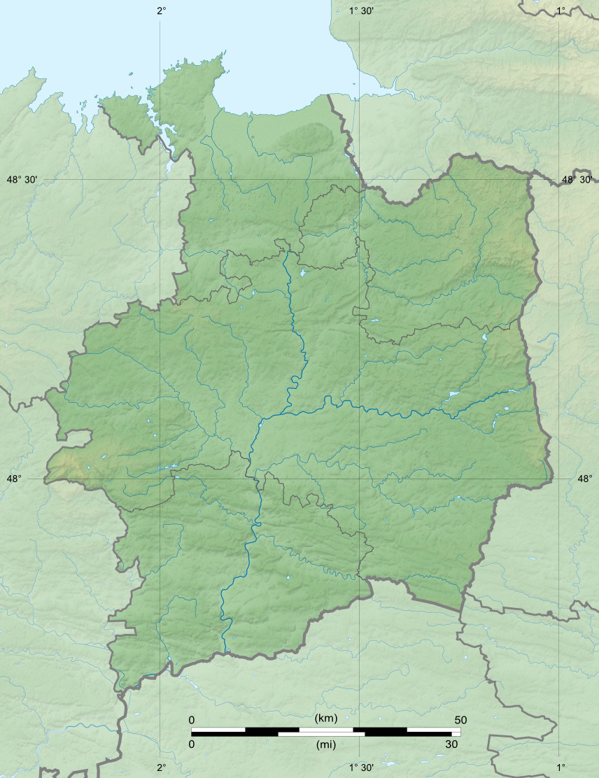
English: Blank physical map of the department of Ille-et-Vilaine, France, for geo-location purpose, with distinct boundaries for regions, departments and arrondissements.
Français : Carte physique vierge du département de l'Ille-et-Vilaine, France, destinée à la géolocalisation, avec limite distincte des régions, départements et arrondissements. Scales: 1:520,000 (precision: 130 m) for the topography; 1:7,480,000 (precision: 1,870 m) for the bathymetry
Geographic limits of the map:
|
||
| Date | |||
| Source |
Own work
|
||
| Author | Eric Gaba (Sting - fr:Sting) | ||
| Permission (Reusing this file) |
|
||
| Other versions |
|

Licensing
I, the copyright holder of this work, hereby publish it under the following licenses:
This file is licensed under the Creative Commons Attribution-Share Alike 3.0 Unported license.
- You are free:
- to share – to copy, distribute and transmit the work
- to remix – to adapt the work
- Under the following conditions:
- attribution – You must give appropriate credit, provide a link to the license, and indicate if changes were made. You may do so in any reasonable manner, but not in any way that suggests the licensor endorses you or your use.
- share alike – If you remix, transform, or build upon the material, you must distribute your contributions under the same or compatible license as the original.

|
Permission is granted to copy, distribute and/or modify this document under the terms of the GNU Free Documentation License, Version 1.2 or any later version published by the Free Software Foundation; with no Invariant Sections, no Front-Cover Texts, and no Back-Cover Texts. A copy of the license is included in the section entitled GNU Free Documentation License. |
You may select the license of your choice.
File history
Click on a date/time to view the file as it appeared at that time.
| Date/Time | Thumbnail | Dimensions | User | Comment | |
|---|---|---|---|---|---|
| current | 22:41, 17 July 2010 | | 856 × 1,112 (259 KB) | Sting | Color profile |
| 13:38, 12 August 2008 |  | 856 × 1,112 (273 KB) | Sting | == Summary == {{Location|48|09|00|N|01|39|00|W|scale:1000000}} <br/> {{Information |Description={{en|Blank relief map of the department of Ille-et-Vilaine, France, for geo-location purpose, with distinct boundaries for regions, dep |
File usage
The following 2 pages use this file:
Global file usage
The following other wikis use this file:
- Usage on als.wikipedia.org
- Usage on ar.wikipedia.org
- Usage on ceb.wikipedia.org
- Usage on cs.wikipedia.org
- Usage on cy.wikipedia.org
- Usage on de.wikipedia.org
- Usage on eo.wikipedia.org
- Rennes
- Ille-et-Vilaine
- Saint-Malo
- Vitré
- Saint-Méen-le-Grand
- Baziliko Saint-Sauveur de Rennes
- Dinard
- Ŝablono:Geokesto lokumilo Ille-et-Vilaine
- Acigné
- Noyal-sur-Vilaine
- Cesson-Sévigné
- Chavagne
- Bruz
- Interkomunumo Rennes Métropole
- Guichen
- Bourg-des-Comptes
- Pléchâtel
- Bécherel
- Combourg
- Châteaugiron
- Ŝablono:Situo sur mapo Francio Ille-et-Vilaine
- La Richardais
- Pleurtuit
- Quédillac
- Saint-Suliac
- Le Minihic-sur-Rance
- Saint-Jouan-des-Guérets
- Ploubalay
- Trégon
- Saint-Briac-sur-Mer
- Saint-Lunaire
- Paramé
- Cancale
- Pinto de Grouin
View more global usage of this file.