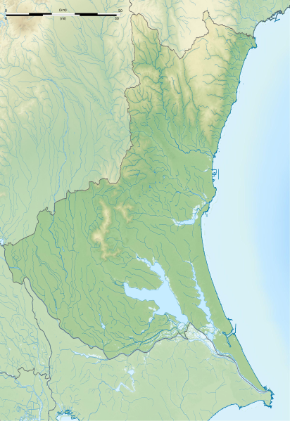
File:Ibaraki-ken géolocalisation relief.svg
Appearance

Size of this PNG preview of this SVG file: 412 × 599 pixels. Other resolutions: 165 × 240 pixels | 330 × 480 pixels | 528 × 768 pixels | 704 × 1,024 pixels | 1,408 × 2,048 pixels | 1,720 × 2,502 pixels.
Original file (SVG file, nominally 1,720 × 2,502 pixels, file size: 2.78 MB)
File history
Click on a date/time to view the file as it appeared at that time.
| Date/Time | Thumbnail | Dimensions | User | Comment | |
|---|---|---|---|---|---|
| current | 16:06, 8 July 2013 |  | 1,720 × 2,502 (2.78 MB) | Bourrichon | == {{int:filedesc}} == {{Location|36|00|00|N|140|00|00|E|scale:10000}} {{Information |Description= {{fr|Carte topographique vierge de la fr:Préfecture d'Ibaraki, au Japon, destinée à la géolocalisation.}} {{de|Topographische Ka... |
File usage
The following 54 pages use this file:
- Acom International
- Adastria Mito Arena
- Atagoyama Kofun (Mito)
- Chōjayama Kanga ruins
- Daihō Castle
- Daiwatari Kanga ruins
- Fudoyatsu-ike Dam
- Fujiigawa Dam
- Fukuoka Dam
- Fukuroda Falls
- Funazukayama Kofun
- Gozenyama Dam
- Heiwa PGM Championship
- Hirasawa Kanga ruins
- Hirohata Shell Mound
- Hitachi Kokubun-ji
- Hitachi Kokufu
- Iida Dam
- Isohama Kofun Cluster
- Izumisakashita Site
- Japan Golf Tour Championship
- Kairaku-en
- Kamitakatsu Shell Mound
- Kasama Castle
- Kawaratsuka Kiln
- Kirin Open
- Koga Castle
- Konda Kanga ruins
- Kozogawa Dam
- Kōdōkan (Mito)
- Lake Senba
- Makabe Castle
- Mawatari Haniwa Production Site
- Minamishiio Choseichi Dam
- Minowa-ike Dam
- Mito Castle
- Mito Tokugawa clan cemetery
- Niihari Gunga ruins
- Niihari temple ruins
- Nikkei Cup
- Obata Kitayama Haniwa Production Site
- Oda Castle
- Okadaira Shell Mound
- Seizansō
- Seki Castle (Chikusei)
- The Championship by Lexus
- Torazuka Kofun
- Tsuchiura Castle
- Yoshida Kofun
- Yūki temple ruins
- Ōgushi Shell Mound
- User:Ty654/List of earthquakes from 2005-2009 exceeding magnitude 6+
- Module:Location map/data/Japan Ibaraki Prefecture
- Module:Location map/data/Japan Ibaraki Prefecture/doc
Global file usage
The following other wikis use this file:
- Usage on ar.wikipedia.org
- Usage on ceb.wikipedia.org
- Usage on ce.wikipedia.org
- Usage on de.wikipedia.org
- Usage on es.wikipedia.org
- Usage on fa.wikipedia.org
- Usage on fr.wikipedia.org
- Mito
- Hitachiōmiya
- Tōkai (Ibaraki)
- Chikusei
- Tsukuba
- Centrale nucléaire de Tōkai
- Ishioka
- Lac Kasumigaura
- Mont Tsukuba
- Hitachinaka
- Shimotsuma
- Tsuchiura
- Kashima
- Circuit de Tsukuba
- Hitachi (Ibaraki)
- Yūki
- Ryūgasaki
- Jōsō
- Hitachiōta
- Takahagi
- Kitaibaraki
- Toride
- Ushiku
- Itako (Ibaraki)
- Moriya
- Naka (Ibaraki)
- Bandō (Ibaraki)
- Inashiki
- Kasumigaura
- Kamisu
- Namegata
- Sakuragawa
- Hokota
- Kasama (Ibaraki)
- Tsukubamirai
- Omitama
View more global usage of this file.

