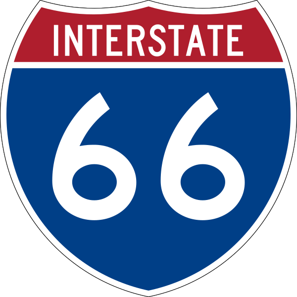
File:I-66.svg
Appearance

Size of this PNG preview of this SVG file: 600 × 600 pixels. Other resolutions: 240 × 240 pixels | 480 × 480 pixels | 768 × 768 pixels | 1,024 × 1,024 pixels | 2,048 × 2,048 pixels | 601 × 601 pixels.
Original file (SVG file, nominally 601 × 601 pixels, file size: 15 KB)
File history
Click on a date/time to view the file as it appeared at that time.
| Date/Time | Thumbnail | Dimensions | User | Comment | |
|---|---|---|---|---|---|
| current | 09:13, 17 May 2007 |  | 601 × 601 (15 KB) | Ltljltlj | |
| 02:12, 5 April 2006 |  | 601 × 601 (13 KB) | SPUI~commonswiki | {{spuiother}} 600 mm by 600 mm (24 in by 24 in) Interstate shield, made to the specifications of the [http://mutcd.fhwa.dot.gov/SHSm/Guide.pdf 2004 edition of Standard Highway Signs] (sign M1-1). Uses the [http://www.triskele.com/fonts/index.html Roadgeek |
File usage
More than 100 pages use this file. The following list shows the first 100 pages that use this file only. A full list is available.
- Appalachian Trail
- Arlington Memorial Bridge
- Blue Line (Washington Metro)
- Buckhall, Virginia
- Capital Beltway
- Difficult Run
- Fair Lakes, Virginia
- Fairfax County, Virginia
- Fairfax County Parkway
- Fauquier County, Virginia
- Frederick County, Virginia
- George Washington Memorial Parkway
- Henry G. Shirley Memorial Highway
- Interstate 395 (Virginia–District of Columbia)
- Interstate 66
- Interstate 81
- Interstate 81 in Virginia
- K Street (Washington, D.C.)
- Key Bridge (Washington, D.C.)
- List of Interstate Highways
- List of Interstate Highways in Illinois
- List of Interstate Highways in Kentucky
- List of Interstate Highways in Virginia
- List of auxiliary Interstate Highways
- List of crossings of the Potomac River
- List of highways numbered 66
- List of primary state highways in Virginia shorter than one mile
- List of toll roads in the United States
- Manassas Gap
- Ohio Drive
- Orange Line (Washington Metro)
- Potomac River
- Prince William County, Virginia
- Prince William Parkway
- Rock Creek and Potomac Parkway
- Silver Line (Washington Metro)
- Skyline Drive
- State highways in Virginia
- Streets and highways of Arlington County, Virginia
- Streets and highways of Washington, D.C.
- Theodore Roosevelt Bridge
- Thoroughfare Gap (Bull Run Mountain)
- U.S. Route 11 in Virginia
- U.S. Route 15
- U.S. Route 15 in Virginia
- U.S. Route 17
- U.S. Route 17 in Virginia
- U.S. Route 1 in Virginia
- U.S. Route 29
- U.S. Route 29 in Virginia
- U.S. Route 29 in the District of Columbia
- U.S. Route 340
- U.S. Route 48
- U.S. Route 50
- U.S. Route 50 in Virginia
- U.S. Route 50 in the District of Columbia
- U.S. Route 522
- Virginia HOT lanes
- Virginia State Route 110
- Virginia State Route 120
- Virginia State Route 123
- Virginia State Route 234
- Virginia State Route 236
- Virginia State Route 237
- Virginia State Route 243
- Virginia State Route 245
- Virginia State Route 267
- Virginia State Route 28
- Virginia State Route 48
- Virginia State Route 55
- Virginia State Route 619 (Prince William County)
- Virginia State Route 620 (Fairfax and Loudoun Counties)
- Virginia State Route 645 (Fairfax County)
- Virginia State Route 65
- Virginia State Route 66
- Virginia State Route 67
- Virginia State Route 7
- Warren County, Virginia
- Washington Boulevard (Arlington)
- Washington metropolitan area
- Washington–Baltimore combined statistical area
- Woodrow Wilson Bridge
- User:DeFaultRyan/Travels
- User:Hmich176/User Page
- User:MPD01605/Exit lists
- User:MPD01605/Roads
- User:MPD01605/Roads/Work
- User:O/Roads
- User:O/Roads/Interstate status
- User:VerruckteDan
- User talk:Rschen7754/Archive 11
- Wikipedia:WikiProject U.S. Roads/Adopt-a-Highway
- Wikipedia:WikiProject U.S. Roads/Interstate RJL compliance
- Wikipedia:WikiProject U.S. Roads/National articles
- Wikipedia:WikiProject U.S. Roads/Redirects/District of Columbia
- Wikipedia:WikiProject U.S. Roads/Redirects/Interstate Highways
- Wikipedia:WikiProject U.S. Roads/Redirects/Virginia/Interstate-US Highways
- Wikipedia talk:Manual of Style/Road junction lists/Archive 5
- Wikipedia talk:WikiProject U.S. Roads/Archive 13
- Template:Blue Line (Washington Metro)
View more links to this file.
Global file usage
The following other wikis use this file:
- Usage on bn.wikivoyage.org
- Usage on bs.wikipedia.org
- Usage on de.wikipedia.org
- Usage on de.wikivoyage.org
- Usage on en.wikivoyage.org
- Usage on eo.wikipedia.org
- Usage on es.wikipedia.org
- Usage on eu.wikipedia.org
- Usage on fa.wikipedia.org
- Usage on fi.wikipedia.org
- Usage on fr.wikipedia.org
View more global usage of this file.


