
File:HCFCD Map.jpg
No higher resolution available.
HCFCD_Map.jpg (616 × 445 pixels, file size: 123 KB, MIME type: image/jpeg)
| This is a file from the Wikimedia Commons. Information from its description page there is shown below. Commons is a freely licensed media file repository. You can help. |
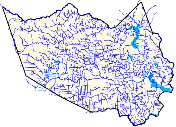
Summary
Map of the Harris County Flood Control District's Flood Control Network. Work of the Harris County Flood Control District, supported by the US Geological Survey and Army Corps of Engineers.
Licensing

|
The copyright holder of this file allows anyone to use it for any purpose, provided that the copyright holder is properly attributed. Redistribution, derivative work, commercial use, and all other use is permitted. |
|
|
File history
Click on a date/time to view the file as it appeared at that time.
| Date/Time | Thumbnail | Dimensions | User | Comment | |
|---|---|---|---|---|---|
| current | 15:20, 3 September 2017 | | 616 × 445 (123 KB) | Sahrin | Map of the Harris County Flood Control District's Flood Control Network. Work of the Harris County Flood Control District, supported by the US Geological Survey and Army Corps of Engineers. |
File usage
The following page uses this file: