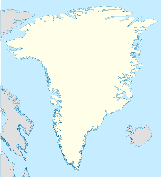
File:Greenland location map.svg
Appearance

Size of this PNG preview of this SVG file: 547 × 599 pixels. Other resolutions: 219 × 240 pixels | 438 × 480 pixels | 701 × 768 pixels | 935 × 1,024 pixels | 1,870 × 2,048 pixels | 2,054 × 2,250 pixels.
Original file (SVG file, nominally 2,054 × 2,250 pixels, file size: 1.57 MB)
File history
Click on a date/time to view the file as it appeared at that time.
| Date/Time | Thumbnail | Dimensions | User | Comment | |
|---|---|---|---|---|---|
| current | 11:07, 30 December 2008 |  | 2,054 × 2,250 (1.57 MB) | NordNordWest | |
| 19:53, 25 September 2008 |  | 2,054 × 2,250 (1.39 MB) | NordNordWest | {{Information |Description= {{de|Positionskarte von Grönland}} Quadratische Plattkarte, N-S-Streckung 280 %. Geographische Begrenzung der Karte: * N: 84.5° N * S: 59.0° N * W: 75.0° W * O: 10.0° W {{en|Location map of [[:en:Greenlan |
File usage
No pages on the English Wikipedia use this file (pages on other projects are not listed).
Global file usage
The following other wikis use this file:
- Usage on af.wikipedia.org
- Usage on ang.wikipedia.org
- Usage on ar.wikipedia.org
- Usage on bn.wikipedia.org
- Usage on da.wikipedia.org
- Usage on de.wikipedia.org
- Usage on en.wiktionary.org
- Usage on fr.wikipedia.org
- Usage on he.wikivoyage.org
- Usage on ia.wikipedia.org
- Usage on ms.wikipedia.org
- Usage on nn.wikipedia.org
- Usage on pt.wikipedia.org
- Usage on ro.wikipedia.org
- Usage on sah.wikipedia.org
- Usage on sh.wikipedia.org
- Usage on sr.wikipedia.org
- Usage on sv.wikipedia.org
View more global usage of this file.


