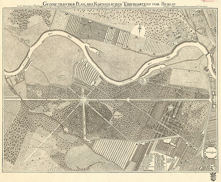
File:Geometrischer plan des Koeniglichen Thiergartens vor Berlin 1765.jpg
Appearance

Size of this preview: 726 × 599 pixels. Other resolutions: 291 × 240 pixels | 582 × 480 pixels | 930 × 768 pixels | 1,240 × 1,024 pixels | 2,481 × 2,048 pixels | 4,673 × 3,858 pixels.
Original file (4,673 × 3,858 pixels, file size: 8.47 MB, MIME type: image/jpeg)
File history
Click on a date/time to view the file as it appeared at that time.
| Date/Time | Thumbnail | Dimensions | User | Comment | |
|---|---|---|---|---|---|
| current | 18:44, 25 October 2014 |  | 4,673 × 3,858 (8.47 MB) | Alexrk2 | higher res. from MZK |
| 16:17, 28 March 2007 |  | 1,042 × 840 (555 KB) | Stephan Herz | {{Information| |Description=Historical map of the "Tiergarten" , a park in Berlin. |Source=Catalogue "Georg Wenzeslaus von Knobelsdorf", edited by Stiftung Preussische Schloesser und Gaerten, Berlin-Brandenburg 1999 |Date=1765 |Painter=Anonymous |Permis |
File usage
The following page uses this file:
Global file usage
The following other wikis use this file:
- Usage on bg.wikipedia.org
- Usage on ca.wikipedia.org
- Usage on de.wikipedia.org
- Usage on et.wikipedia.org
