
File:England in the uk outline map.png
No higher resolution available.
England_in_the_uk_outline_map.png (369 × 420 pixels, file size: 7 KB, MIME type: image/png)
| This is a file from the Wikimedia Commons. Information from its description page there is shown below. Commons is a freely licensed media file repository. You can help. |
Summary
| Description |
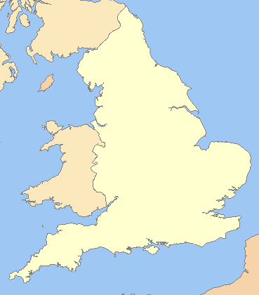
English: A blank map of the England, inside the United Kingdom |
| Source | File:Uk outline map.png |
| Author | ChrisO modified by User:Xhandler |
| Other versions | Derivative works of this file: England in the UK - Northumberland outlined.png |
Licensing

|
Permission is granted to copy, distribute and/or modify this document under the terms of the GNU Free Documentation License, Version 1.2 or any later version published by the Free Software Foundation; with no Invariant Sections, no Front-Cover Texts, and no Back-Cover Texts. A copy of the license is included in the section entitled GNU Free Documentation License. |
| This file is licensed under the Creative Commons Attribution-Share Alike 3.0 Unported license. | ||
| ||
| This licensing tag was added to this file as part of the GFDL licensing update. |
File history
Click on a date/time to view the file as it appeared at that time.
| Date/Time | Thumbnail | Dimensions | User | Comment | |
|---|---|---|---|---|---|
| current | 22:16, 19 March 2009 | | 369 × 420 (7 KB) | Mahahahaneapneap | Compressed |
| 07:59, 11 July 2008 |  | 369 × 420 (11 KB) | Chandler~commonswiki | zoomed in | |
| 06:23, 11 July 2008 |  | 600 × 800 (25 KB) | Chandler~commonswiki | {{Information |Description={{en|1=A blank map of the England, inside the United Kingdom}} |Source=Image:Uk_outline_map.png |Author=ChrisO modified by User:Xhandler |Date= |Permission= |other_versions= }} {{ImageUpload|full}} [[Cat |
File usage
The following 5 pages use this file:
Global file usage
The following other wikis use this file:
- Usage on cy.wikipedia.org
- Usage on de.wikipedia.org
- Usage on fr.wikipedia.org
- Usage on he.wikipedia.org
- Usage on pnb.wikipedia.org
- Usage on uk.wikipedia.org
- Usage on zh.wikipedia.org