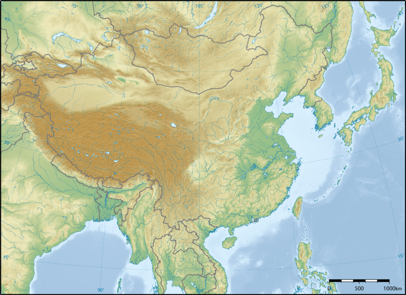
File:East Asia topographic map.png
Appearance

Size of this preview: 800 × 582 pixels. Other resolutions: 320 × 233 pixels | 640 × 466 pixels | 1,024 × 746 pixels | 1,280 × 932 pixels | 2,560 × 1,864 pixels | 2,876 × 2,094 pixels.
Original file (2,876 × 2,094 pixels, file size: 8.82 MB, MIME type: image/png)
File history
Click on a date/time to view the file as it appeared at that time.
| Date/Time | Thumbnail | Dimensions | User | Comment | |
|---|---|---|---|---|---|
| current | 05:11, 17 August 2008 |  | 2,876 × 2,094 (8.82 MB) | Ksiom | {{Information |Description={{en|1=Topographic map of East Asia.}} {{ko|1=동아시아의 지형도.}} |Source=Own work by uploader |Author=Ksiom |Date=2008-08-17 |Permission={{GFDL-GMT}} |other_versions= }} <!--{{ImageUpload|full}}--> [[Ca |
File usage
The following 8 pages use this file:
Global file usage
The following other wikis use this file:
- Usage on af.wikipedia.org
- Usage on ast.wikipedia.org
- Usage on de.wikipedia.org
- Usage on el.wikipedia.org
- Usage on es.wikipedia.org
- Usage on fa.wikipedia.org
- Usage on fr.wikipedia.org
- Usage on hsb.wikipedia.org
- Usage on incubator.wikimedia.org
- Usage on ja.wikipedia.org
- Usage on km.wikipedia.org
- Usage on ko.wikipedia.org
- Usage on ln.wikipedia.org
- Usage on sn.wikipedia.org
- Usage on vi.wikipedia.org
- Usage on wuu.wikipedia.org
- Usage on zh-yue.wikipedia.org
- Usage on zh.wikipedia.org

