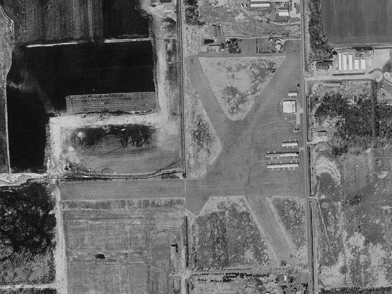
File:Davis Airport Michigan 2D8 USGS 07-Apr-1999.jpg
Appearance

Size of this preview: 800 × 600 pixels. Other resolutions: 320 × 240 pixels | 640 × 480 pixels | 1,024 × 768 pixels | 1,280 × 960 pixels.
Original file (1,280 × 960 pixels, file size: 185 KB, MIME type: image/jpeg)
File history
Click on a date/time to view the file as it appeared at that time.
| Date/Time | Thumbnail | Dimensions | User | Comment | |
|---|---|---|---|---|---|
| current | 12:44, 19 June 2012 |  | 1,280 × 960 (185 KB) | Zyxw | higher resolution |
| 04:41, 27 April 2010 |  | 640 × 480 (120 KB) | Dj1997 | {{Information |Description={{en|1=USGS aerial photograph of Davis Airport (2D8) in DeWitt Township, Michigan (north of East Lansing). Airport closed on May 5, 2000.}} |Source=http://msrmaps.com/map.aspx?t=1&s=11&lon=-84.488&lat=42.774&w=640&h=480&opt=2&f |
File usage
The following page uses this file:
Global file usage
The following other wikis use this file:
- Usage on ceb.wikipedia.org
- Usage on fa.wikipedia.org
- Usage on tg.wikipedia.org
- Usage on ur.wikipedia.org
- Usage on www.wikidata.org


