File:CustisTrail.jpg
Appearance
CustisTrail.jpg (706 × 590 pixels, file size: 453 KB, MIME type: image/jpeg)
File history
Click on a date/time to view the file as it appeared at that time.
| Date/Time | Thumbnail | Dimensions | User | Comment | |
|---|---|---|---|---|---|
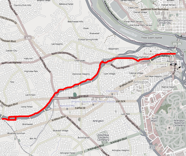
| current | 20:21, 26 March 2011 |  | 706 × 590 (453 KB) | Bobco85 | {{Information |Description= Map of the Custis Trail. Image has been modified from its original form (trail has been highlighted with a red line and rest of image has been desaturated). |Source=http://www.openstreetmap.org/?lat=38.8916&lon=-77.1031&zoom=14 |
| 20:48, 25 March 2011 |  | 956 × 542 (675 KB) | Bobco85 | {{Information |Description ={{en|1=A map of the Custis Trail starting from the western end at the Washington & Old Dominion trail and continuing to the eastern end near Key Bridge in Rosslyn, VA.}} |Source =Screenshot of Custis Trail mapped on |
File usage
The following page uses this file:
Global file usage
The following other wikis use this file:
- Usage on en.wikibooks.org
- Usage on www.wikidata.org

