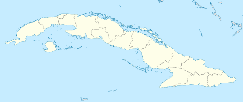
File:Cuba location map.svg
Appearance

Size of this PNG preview of this SVG file: 800 × 339 pixels. Other resolutions: 320 × 136 pixels | 640 × 271 pixels | 1,024 × 434 pixels | 1,280 × 543 pixels | 2,560 × 1,085 pixels | 1,795 × 761 pixels.
Original file (SVG file, nominally 1,795 × 761 pixels, file size: 310 KB)
File history
Click on a date/time to view the file as it appeared at that time.
| Date/Time | Thumbnail | Dimensions | User | Comment | |
|---|---|---|---|---|---|
| current | 11:47, 31 December 2010 |  | 1,795 × 761 (310 KB) | NordNordWest | upd |
| 19:33, 4 September 2008 |  | 1,796 × 761 (458 KB) | NordNordWest | minor corrections at contents and graphics | |
| 20:37, 3 September 2008 |  | 1,796 × 761 (461 KB) | NordNordWest | {{Information |Description= {{de|Positionskarte von Kuba}} Quadratische Plattkarte, N-S-Streckung 105 %. Geographische Begrenzung der Karte: * N: 23.8° N * S: 19.2° N * W: 85.2° W * O: 73.8° W {{en|Location map of Cuba}} Equi |
File usage
The following 4 pages use this file:
Global file usage
The following other wikis use this file:
- Usage on af.wikipedia.org
- Usage on an.wikipedia.org
- Usage on ar.wikipedia.org
- Usage on ast.wikipedia.org
- L'Habana
- Estadiu Calixto García Íñiguez
- Santiago de Cuba
- Capitoliu de L'Habana
- Palaciu de la Revolución
- Plaza de la Revolución
- Módulu:Mapa de llocalización/datos/Cuba
- Aeropuertu Baracoa
- Aeropuertu Gustavo Rizo
- Aeropuertu Hermanos Ameijeiras
- Aeropuertu Juan Gualberto Gómez
- Aeropuertu Rafael Cabrera
- Aeropuertu de Cayo Coco
- Boca de Camarioca
- Matanzas
- Módulu:Mapa de llocalización/datos/Cuba/usu
- Santa Clara (Cuba)
- Usage on az.wikipedia.org
- Usage on ban.wikipedia.org
- Usage on ba.wikipedia.org
- Usage on be-tarask.wikipedia.org
View more global usage of this file.


