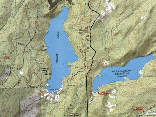
File:Cherry Lake Stanislaus National Forest USGS TOPO Map.jpg
Appearance
Cherry_Lake_Stanislaus_National_Forest_USGS_TOPO_Map.jpg (512 × 384 pixels, file size: 45 KB, MIME type: image/jpeg)
File history
Click on a date/time to view the file as it appeared at that time.
| Date/Time | Thumbnail | Dimensions | User | Comment | |
|---|---|---|---|---|---|
| current | 01:01, 1 April 2009 |  | 512 × 384 (45 KB) | Emerson7 | {{Information | Description = USGS Topo map: w:Cherry Lake (California), w:Stanislaus National Forest | Source = http://www.fs.fed.us/r5/stanislaus/images/maps/cherryarea.jpg | Date = uploaded: ~~~~~ | Author = U.S. National Park |
File usage
The following page uses this file:


