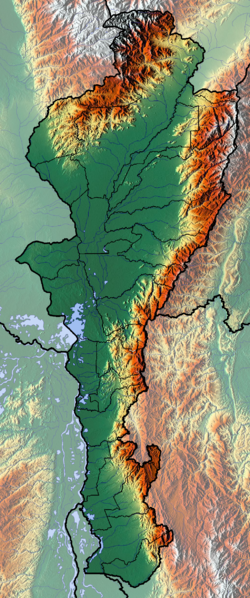
File:Cesar Topographic 2.png
Appearance

Size of this preview: 250 × 598 pixels. Other resolutions: 100 × 240 pixels | 200 × 480 pixels | 321 × 768 pixels | 1,025 × 2,453 pixels.
Original file (1,025 × 2,453 pixels, file size: 5.34 MB, MIME type: image/png)
File history
Click on a date/time to view the file as it appeared at that time.
| Date/Time | Thumbnail | Dimensions | User | Comment | |
|---|---|---|---|---|---|
| current | 13:29, 9 June 2012 |  | 1,025 × 2,453 (5.34 MB) | Dr Brains |
File usage
The following 8 pages use this file:
Global file usage
The following other wikis use this file:
- Usage on avk.wikipedia.org
- Usage on bg.wikipedia.org
- Usage on es.wikipedia.org
- Usage on fa.wikipedia.org
- Usage on fr.wikipedia.org
- Cesar (département colombien)
- Valledupar
- Gamarra
- Agustín Codazzi (municipalité)
- Aguachica
- San Diego (Cesar)
- San Alberto (Cesar)
- La Paz Robles
- Astrea (Cesar)
- Becerril
- Bosconia
- Chimichagua
- Chiriguaná
- Río de Oro (Cesar)
- Pueblo Bello
- Pelaya
- Pailitas
- Curumaní
- El Copey
- La Jagua de Ibirico
- El Paso (Cesar)
- González (Cesar)
- La Gloria (Colombie)
- Modèle:Géolocalisation/Cesar
- Modèle:Géolocalisation/Cesar/Documentation
- Ciénaga de Zapatosa
- Kankuamos
- Usage on he.wikipedia.org
- Usage on nl.wikipedia.org
- Usage on si.wikipedia.org
- Usage on uz.wikipedia.org
- Usage on zh.wikipedia.org

