
File:Carte de la Gaule antique du 18ème siècle.jpg

Size of this preview: 722 × 599 pixels. Other resolutions: 289 × 240 pixels | 578 × 480 pixels | 925 × 768 pixels | 1,234 × 1,024 pixels | 2,467 × 2,048 pixels | 3,796 × 3,151 pixels.
Original file (3,796 × 3,151 pixels, file size: 1.92 MB, MIME type: image/jpeg)
| This is a file from the Wikimedia Commons. Information from its description page there is shown below. Commons is a freely licensed media file repository. You can help. |
Summary
| Description |
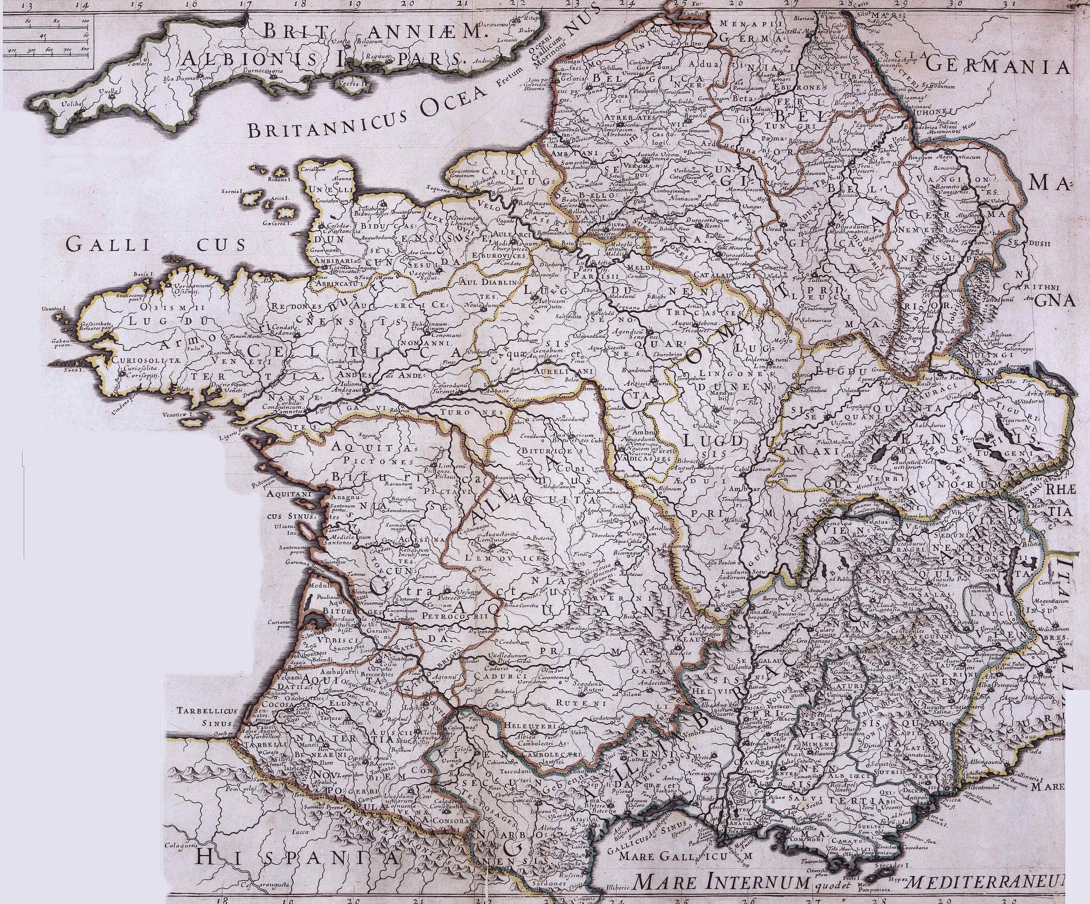
Français : Carte de la Gaule antique du 18e siècle |
| Date | Carte du 18e siècle |
| Source | http://www.orpaillage.fr/histoire/gaule_latine2.jpg |
| Author | Unknown author |
Licensing
|
This work is in the public domain in its country of origin and other countries and areas where the copyright term is the author's life plus 70 years or fewer. | |
| This file has been identified as being free of known restrictions under copyright law, including all related and neighboring rights. | |
File history
Click on a date/time to view the file as it appeared at that time.
| Date/Time | Thumbnail | Dimensions | User | Comment | |
|---|---|---|---|---|---|
| current | 20:00, 5 April 2008 | | 3,796 × 3,151 (1.92 MB) | Thesupermat | {{Information |Description=Carte de la Gaule antique du 18ème siècle |Source=http://www.orpaillage.fr/histoire/gaule_latine2.jpg |Date= Carte du 18ème siècle |Author= unknow |Permission= |other_versions= }} Category:Maps of Roman Gaul |
File usage
The following page uses this file:
Global file usage
The following other wikis use this file:
- Usage on eo.wikipedia.org
- Usage on fr.wikipedia.org
- Usage on ja.wikipedia.org
- Usage on sk.wikipedia.org