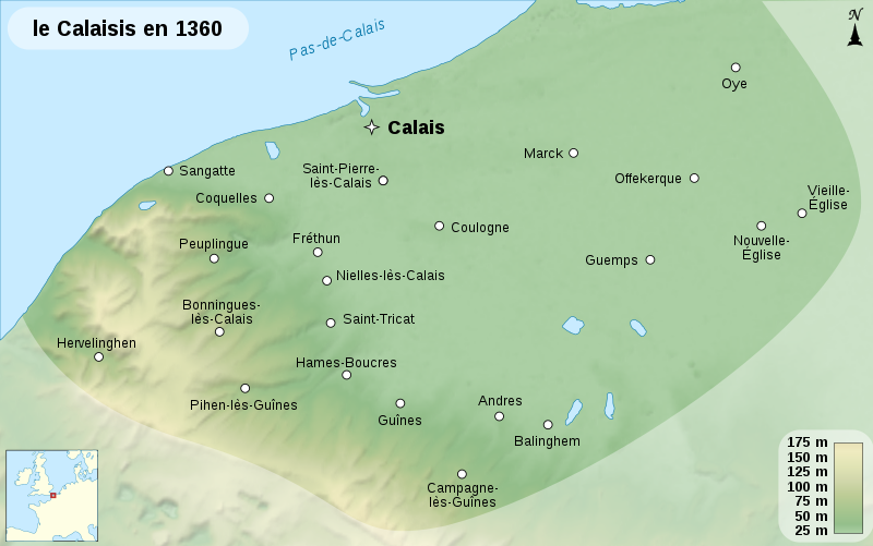
File:Calaisis 1360 map-fr.svg
Appearance

Size of this PNG preview of this SVG file: 800 × 501 pixels. Other resolutions: 320 × 200 pixels | 640 × 401 pixels | 1,024 × 641 pixels | 1,280 × 802 pixels | 2,560 × 1,604 pixels | 1,424 × 892 pixels.
Original file (SVG file, nominally 1,424 × 892 pixels, file size: 773 KB)
File history
Click on a date/time to view the file as it appeared at that time.
| Date/Time | Thumbnail | Dimensions | User | Comment | |
|---|---|---|---|---|---|
| current | 18:32, 31 August 2008 |  | 1,424 × 892 (773 KB) | Sémhur | == Description == {{Information |Description= {{en|1=Map of the Pale of Calais, around the year 1360.}} {{fr|1=Carte du Calaisis, à l'entour de l'an 1360.}} |Source=Travail personnel (own work).<br /> Sources : * B |
File usage
The following page uses this file:
Global file usage
The following other wikis use this file:
- Usage on fr.wikipedia.org
- Usage on he.wikipedia.org
- Usage on it.wikipedia.org
- Usage on ja.wikipedia.org
- Usage on ru.wikipedia.org
- Usage on uk.wikipedia.org
