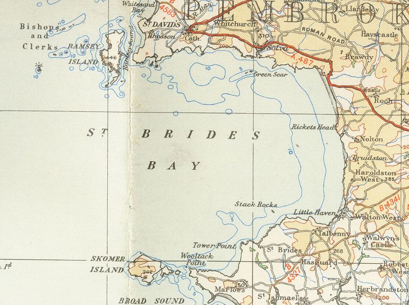
File:Bride baymap1946.jpg
Appearance

Size of this preview: 800 × 597 pixels. Other resolutions: 320 × 239 pixels | 640 × 478 pixels | 1,024 × 764 pixels | 1,280 × 955 pixels | 2,581 × 1,926 pixels.
Original file (2,581 × 1,926 pixels, file size: 559 KB, MIME type: image/jpeg)
File history
Click on a date/time to view the file as it appeared at that time.
| Date/Time | Thumbnail | Dimensions | User | Comment | |
|---|---|---|---|---|---|
| current | 18:09, 19 November 2007 |  | 2,581 × 1,926 (559 KB) | Jordi Roqué | {{Information |Description={{en|Old OS map from 1946 of Bride's_bay 1/4 inch to the mile en:Category:Images of Pembrokeshire}} |Source=Originally from [http://en.wikipedia.org en.wikipedia]; description page is/was [http://en.wikipedia.org/w/index. |
File usage
The following page uses this file:
Global file usage
The following other wikis use this file:
- Usage on ca.wikipedia.org
- Usage on eu.wikipedia.org
- Usage on nn.wikipedia.org
- Usage on www.wikidata.org

