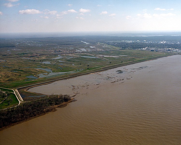
File:Bonnet Carre Spillway aerial view northeast.jpg
Appearance

Size of this preview: 750 × 600 pixels. Other resolutions: 300 × 240 pixels | 600 × 480 pixels | 960 × 768 pixels | 1,280 × 1,024 pixels | 1,500 × 1,200 pixels.
Original file (1,500 × 1,200 pixels, file size: 703 KB, MIME type: image/jpeg)
File history
Click on a date/time to view the file as it appeared at that time.
| Date/Time | Thumbnail | Dimensions | User | Comment | |
|---|---|---|---|---|---|
| current | 04:17, 6 April 2007 |  | 1,500 × 1,200 (703 KB) | DanMS | {{Information | Description = {{en|The opening of the Bonnet Carré Spillway on the Mississippi River. The spillway is designed to spill water from the river into Lake Pontchartrain during flooding of the river. The spillway is located about 12 miles ( |
File usage
The following page uses this file:
Global file usage
The following other wikis use this file:
- Usage on de.wikipedia.org
- Usage on fr.wikipedia.org

