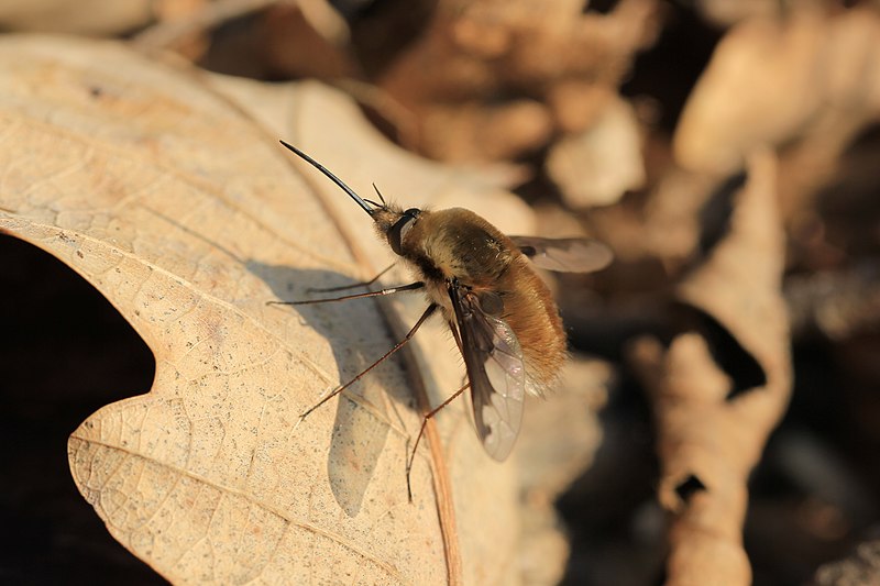
File:Bombylius major - Leithagebirge.jpg
Appearance

Size of this preview: 800 × 533 pixels. Other resolutions: 320 × 213 pixels | 640 × 427 pixels | 1,024 × 683 pixels | 1,280 × 853 pixels | 2,560 × 1,707 pixels | 5,184 × 3,456 pixels.
Original file (5,184 × 3,456 pixels, file size: 4.59 MB, MIME type: image/jpeg)
File history
Click on a date/time to view the file as it appeared at that time.
| Date/Time | Thumbnail | Dimensions | User | Comment | |
|---|---|---|---|---|---|
| current | 22:31, 23 March 2012 |  | 5,184 × 3,456 (4.59 MB) | Spacebirdy | {{Location|47|55|52.31|N|16|35|27.92|E}} {{Information | Description = {{de|Großer Wollschweber auf einem Eichenblatt im Leithagebirge.}} |Source=selfmade by see authors |Date=~~~~~ |Autho... |
File usage
The following page uses this file:
Global file usage
The following other wikis use this file:
- Usage on es.wikipedia.org
- Usage on fa.wikipedia.org
- Usage on fr.wikipedia.org
- Usage on is.wiktionary.org


