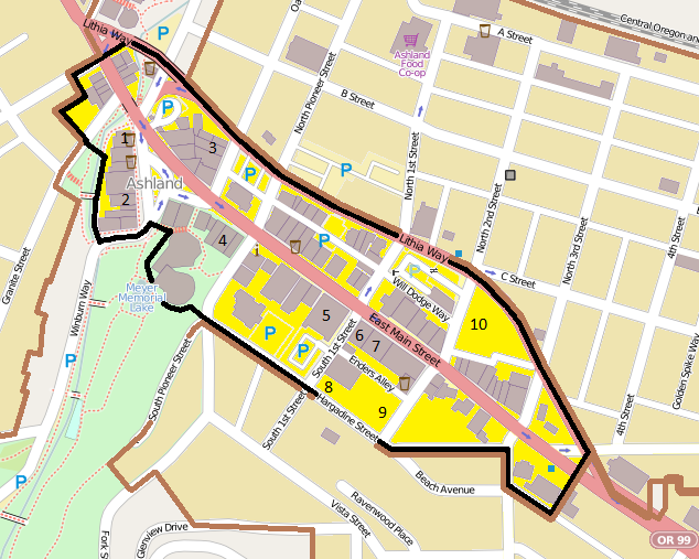
File:Ashland Downtown HD boundary map.png
Appearance
Ashland_Downtown_HD_boundary_map.png (634 × 507 pixels, file size: 242 KB, MIME type: image/png)
File history
Click on a date/time to view the file as it appeared at that time.
| Date/Time | Thumbnail | Dimensions | User | Comment | |
|---|---|---|---|---|---|
| current | 06:22, 17 June 2013 |  | 634 × 507 (242 KB) | Ipoellet | Further color correction |
| 06:19, 17 June 2013 |  | 634 × 507 (242 KB) | Ipoellet | Correct brown outline color | |
| 06:16, 17 June 2013 |  | 634 × 507 (241 KB) | Ipoellet | User created page with UploadWizard |
File usage
The following page uses this file:
Global file usage
The following other wikis use this file:
- Usage on de.wikipedia.org

