
File:Arta municipalities numbered.svg

Size of this PNG preview of this SVG file: 589 × 599 pixels. Other resolutions: 236 × 240 pixels | 472 × 480 pixels | 755 × 768 pixels | 1,006 × 1,024 pixels | 2,012 × 2,048 pixels | 621 × 632 pixels.
Original file (SVG file, nominally 621 × 632 pixels, file size: 85 KB)
| This is a file from the Wikimedia Commons. Information from its description page there is shown below. Commons is a freely licensed media file repository. You can help. |
This W3C-unspecified vector image was created with Inkscape .
Summary
| Description |
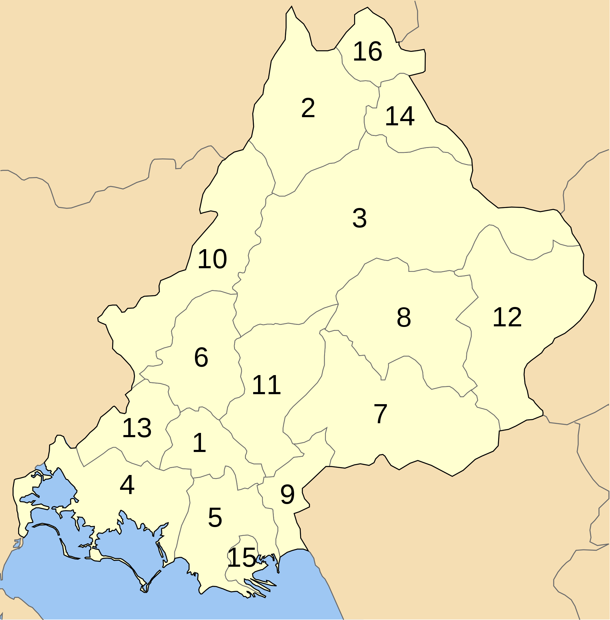
Map of Arta perfecture (Νομός Άρτας, Greece) with administrative divisions (municipalities and communities) numbered in alphabetical order (in greek). Legend: |
| Date | |
| Source | Own work |
| Author | Badseed |
| Permission (Reusing this file) |
public domain |
Licensing
| I, the copyright holder of this work, release this work into the public domain. This applies worldwide. In some countries this may not be legally possible; if so: I grant anyone the right to use this work for any purpose, without any conditions, unless such conditions are required by law. |
File history
Click on a date/time to view the file as it appeared at that time.
| Date/Time | Thumbnail | Dimensions | User | Comment | |
|---|---|---|---|---|---|
| current | 16:55, 19 March 2007 | | 621 × 632 (85 KB) | Badseed | |
| 16:54, 19 March 2007 |  | 1,052 × 744 (85 KB) | Badseed | {{inkscape}} == Summary == {{Information |Description=Map of Arta perfecture (Νομός Άρτας, Greece) with administrative divisions (municipalities and communities) numbered in alphabetical order (in greek). Legend: |Source=Own work |Date=19 Marc |
File usage
No pages on the English Wikipedia use this file (pages on other projects are not listed).
Global file usage
The following other wikis use this file:
- Usage on el.wikipedia.org
- Usage on hr.wikipedia.org
- Usage on it.wikipedia.org
- Usage on ja.wikipedia.org
- Usage on ko.wikipedia.org
- Usage on la.wikipedia.org
- Usage on lt.wikipedia.org
- Usage on zh.wikipedia.org