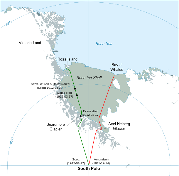
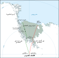
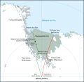
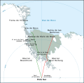
File:Antarctic expedition map (Amundsen - Scott)-en.svg
Appearance

Size of this PNG preview of this SVG file: 610 × 599 pixels. Other resolutions: 244 × 240 pixels | 489 × 480 pixels | 782 × 768 pixels | 1,042 × 1,024 pixels | 2,084 × 2,048 pixels | 1,898 × 1,865 pixels.
Original file (SVG file, nominally 1,898 × 1,865 pixels, file size: 304 KB)
File history
Click on a date/time to view the file as it appeared at that time.
| Date/Time | Thumbnail | Dimensions | User | Comment | |
|---|---|---|---|---|---|
| current | 03:30, 29 April 2023 |  | 1,898 × 1,865 (304 KB) | Pimms1 | Changed dates to YYYY-MM-DD format |
| 21:15, 6 March 2010 |  | 1,898 × 1,865 (306 KB) | S.L. | revert | |
| 21:13, 6 March 2010 |  | 400 × 512 (2.79 MB) | S.L. | better version, mistakes fixed | |
| 18:44, 17 March 2008 |  | 1,898 × 1,865 (306 KB) | Shakki | {{Information |Description={{en|Map showing the polar journeys of the Scott's ''Terra Nova'' expedition (green) and Amundsen's expedition (red) to reach the South Pole}} {{fr|Carte montrant les parcours de l'expédition ''Terra Nova'' de Scott (vert) et c |
File usage
The following 6 pages use this file:
Global file usage
The following other wikis use this file:
- Usage on ar.wikipedia.org
- Usage on az.wikipedia.org
- Usage on el.wikipedia.org
- Usage on en.wikivoyage.org
- Usage on es.wikipedia.org
- Usage on eu.wikipedia.org
- Usage on fa.wikipedia.org
- Usage on fi.wikipedia.org
- Usage on hu.wikipedia.org
- Usage on ja.wikipedia.org
- Usage on la.wikipedia.org
- Usage on mk.wikipedia.org
- Usage on nl.wikipedia.org
- Usage on pl.wikipedia.org
- Usage on pt.wikipedia.org
- Usage on ro.wikipedia.org
- Usage on simple.wikipedia.org
- Usage on sr.wikipedia.org
- Usage on zh.wikipedia.org


