File:1841 map of the Oregon Territory.jpg
Appearance
1841_map_of_the_Oregon_Territory.jpg (322 × 218 pixels, file size: 23 KB, MIME type: image/jpeg)
File history
Click on a date/time to view the file as it appeared at that time.
| Date/Time | Thumbnail | Dimensions | User | Comment | |
|---|---|---|---|---|---|
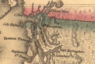
| current | 22:38, 10 April 2006 |  | 322 × 218 (23 KB) | Roke~commonswiki | Map of the Oregon Territory / by the U.S. Ex. Ex., Charles Wilkes, Esqr., Commander, 1841. [http://memory.loc.gov/cgi-bin/query/r?ammem/gmd:@field(NUMBER+@band(g4240+ct000908))] Shows boundary on the 54 40' line {{PD-US}} Historical maps of Canada |
File usage
The following 2 pages use this file:
Global file usage
The following other wikis use this file:
- Usage on de.wikipedia.org
- Usage on ja.wikipedia.org
- Usage on nl.wikipedia.org


