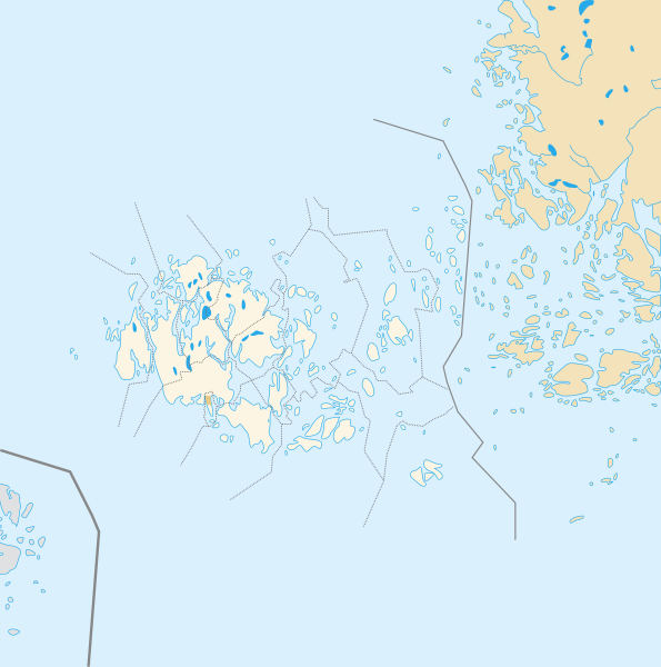
File:Åland location map.svg
Appearance

Size of this PNG preview of this SVG file: 595 × 600 pixels. Other resolutions: 238 × 240 pixels | 476 × 480 pixels | 762 × 768 pixels | 1,016 × 1,024 pixels | 2,032 × 2,048 pixels | 996 × 1,004 pixels.
Original file (SVG file, nominally 996 × 1,004 pixels, file size: 185 KB)
File history
Click on a date/time to view the file as it appeared at that time.
| Date/Time | Thumbnail | Dimensions | User | Comment | |
|---|---|---|---|---|---|
| current | 13:14, 23 July 2010 |  | 996 × 1,004 (185 KB) | Xfigpower | {{Information |Description={{de|1=Positionskarte der Åland Quadratische Plattkarte, N-S-Streckung 100 %, Geographische Begrenzung der Karte: * N: ???° N * S: ???° N * W: ???° W * O: ???° W}} {{en|1=Carte de géolocalisation de l'État |
File usage
The following 11 pages use this file:
Global file usage
The following other wikis use this file:
- Usage on an.wikipedia.org
- Usage on ar.wikipedia.org
- Usage on ceb.wikipedia.org
- Plantilya:Location map Finland Åland Islands
- Plantilya:Location map Aland Islands
- Stenskär
- Nygrund
- Stenskar
- Kalkgrund
- Ekholm
- Lango
- Vro
- Kalen
- Platen
- Basto
- Sando
- Pungo
- Geto
- Nato
- Valo
- Skaret
- Granholm
- Grano
- Kalvholmen
- Haren
- Skarven
- Baro
- Hogan
- Adoe
- Kakan
- Lagan
- Badan
- Hundskar
- Kasberg
- Gollan
- Stora Lökskär
- Gadden
- Yxskär
- Bredan
- Ytterskär
- Ytterön
- Ytteroen
- Ytterö
- Långskär
- Vitklobbarna
- Vitfågelskär
- Viggskär
- Vikskär
- Vikarskären
- Storlandet
- Vidskär
View more global usage of this file.

