Coulee Experimental State Forest
Appearance
From Wikipedia, the free encyclopedia
State forest in La Crosse County, Wisconsin
| Coulee Experimental State Forest | |
|---|---|
 Northeast Coulee oak woodland | |
| Location | La Crosse County, Wisconsin |
| Nearest city | Onalaska, WI |
| Coordinates | 43°51′07″N 91°02′01″W / 43.85194°N 91.03361°W / 43.85194; -91.03361 |
| Area | 2,972 acres (12.03 km2) |
| Governing body | Wisconsin Department of Natural Resources |
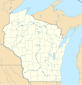
Coulee Experimental State Forest is a state forest located in La Crosse County, Wisconsin, United States.[1] It is administered by the Wisconsin Department of Natural Resources. The hilly terrain within the state forest is an excellent representation of Wisconsin's portion of the Driftless Area.
Notes
[edit]External links
[edit]- Wisconsin Department of Natural Resources - Coulee Experimental State Forest
- USGS Protected areas database
This article about a location in La Crosse County, Wisconsin is a stub. You can help Wikipedia by expanding it. |
This article related to a protected area in Wisconsin is a stub. You can help Wikipedia by expanding it. |


