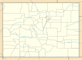
Beaver Creek State Wildlife Area
Appearance
| Beaver Creek State Wildlife Area | |
|---|---|
| Location | Fremont County, Colorado |
| Nearest city | Penrose, Colorado |
| Coordinates | 38°35′10″N 105°01′17″W / 38.58611°N 105.02131°W[1] |
Beaver Creek State Wildlife Area is a tract of protected land located in central Colorado, near the town of Penrose. It covers 2,228 acres, encompassing habitats ranging from desert to conifer forests and meadows.,[2][1][3] ,[4][5][6]
References
[edit]- ^ a b "Beaver Creek State Wildlife Area - details". thesportsglobe.com. TheSportsGlobe, Inc. Retrieved 14 May 2015.
- ^ "Beaver Creek". canyoncountrywilderness.org. Colorado Wilderness Network. Archived from the original on 29 September 2015. Retrieved 14 May 2015.
- ^ "Beaver Creek SWA". cpw.state.co.us. Colorado Parks and Wildlife. Retrieved 14 May 2015.
- ^ "Beaver Creek Loop". EveryTrail.com. GlobalMotion Media Inc. Retrieved 14 May 2015.
- ^ Christopherson, K. "Beaver Creek and Skaguay Reservoir - A 'Find'". Colorado Fishing Network. Retrieved 14 May 2015.
- ^ "Beaver Creek - Above Penrose". anglerscovey.com. Anglers Covey. Retrieved 14 May 2015.

