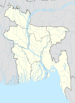
Baithakata
Appearance
(Redirected from Baithakata, Pirojpur, Barisal)
Baithakata
বৈঠাকাটা Mugarjhor | |
|---|---|
Village | |
| Coordinates: 22°47′12.2″N 89°58′52.9″E / 22.786722°N 89.981361°E | |
| Country | |
| Division | Barisal |
| District | Pirojpur |
| Upazila | Nazirpur |
| Union Council | Malikhali |
| Time zone | UTC+6 (Bangladesh Time) |
| Area code | +880-461 |
Baithakata (Bengali: বৈঠাকাটা), also known as Mugarjhor,[citation needed] is a village in Pirojpur District in the Barisal Division of southwestern Bangladesh.[1]
Geography
[edit]The village is part of the union council of Malikhali and lies near the eastern shore of Kaliganga River.[2] It is 10 km north of Nazirpur, 80 km west of Barisal and 100 km east of Khulna.
Education
[edit]In the village there are the Mugarjhor High School and the Baithakata College.
References
[edit]External links
[edit]

